 USGS Projects

Balkan Earthquakes Workshop
A collaborative proposal to construct probabilistic seismic hazard maps for developing Balkan countries using modern scientific methodologies.
Probabilistic seismic hazard maps serve as essential tools for understanding and mitigating earthquake risk across developing regions. By integrating modern scientific methodologies with regional geological data, researchers can estimate the likelihood of various ground-shaking intensities over a given time period. These maps form the backbone of updated building codes, infrastructure design standards, and emergency preparedness strategies. For nations in the Balkan region, where tectonic activity is significant and urban development continues to expand, such hazard assessments provide critical guidance for reducing potential losses. The collaborative nature of these efforts ensures that local expertise combines with international best practices, resulting in products that are both scientifically robust and practically applicable to each country's unique seismic environment.
The Global Earthquake Model's OpenQuake platform has transformed how seismic hazard assessments are conducted worldwide. This open-source software allows researchers to calculate hazard curves, produce maps, and analyze uncertainties using transparent and reproducible methods. For developing nations with limited resources, access to such freely available tools democratizes the process of risk evaluation. Training workshops and knowledge-sharing initiatives help local scientists and engineers build capacity in using these advanced computational techniques. By adopting standardized methodologies across borders, neighboring countries can ensure consistency in their hazard assessments, facilitating regional cooperation on disaster risk reduction and enabling more effective cross-border emergency planning and response coordination.
Updating building codes based on modern seismic hazard maps represents one of the most cost-effective investments in public safety. Structures designed according to outdated standards may be vulnerable to ground motions that exceed their intended capacity, particularly in regions where new scientific data reveals higher hazard levels than previously recognized. The Balkan region's diverse tectonic setting, including active fault systems and complex crustal deformation patterns, requires careful consideration in hazard modeling. Engineers and policymakers must work together to translate probabilistic hazard information into practical design provisions that balance safety with economic feasibility. This iterative process of assessment, code development, and enforcement strengthens overall community resilience over time.
International collaboration has proven essential for advancing seismic hazard research in developing countries. When multiple institutions pool their data, expertise, and computational resources, the resulting hazard models benefit from broader perspectives and more comprehensive input datasets. Workshops that bring together geologists, seismologists, engineers, and emergency managers foster the interdisciplinary dialogue necessary for effective risk reduction. For Balkan nations pursuing updated seismic hazard maps, such partnerships accelerate knowledge transfer and help establish sustainable local capacity for ongoing research. The ultimate beneficiaries are the communities living in earthquake-prone areas, who gain access to improved risk information that supports safer construction practices, informed land-use planning, and more effective preparedness measures.
Objective
In response to the need for updating building codes, design standards, and emergency planning, this initiative targets developing Balkan nations. The goal is to produce probabilistic seismic hazard maps that reflect the latest scientific understanding of regional earthquake risk.
Seismic hazard maps will be computed using the Global Earthquake Model (GEM) hazard assessment software OpenQuake, an open-source platform developed for collaborative seismic risk analysis worldwide.
Participating Countries
- Slovenia
- Croatia
- Bosnia & Herzegovina
- Serbia
- Montenegro
- Albania
- Kosovo
- Macedonia
Methodology & Data
The hazard assessment draws on historical seismicity records spanning from 500 BC to 1970, combined with modern instrumental catalogs. By integrating paleoseismic data, fault slip rates, and ground-motion prediction equations within the OpenQuake engine, the project aims to produce uniform hazard spectra and peak ground acceleration maps suitable for code updates.

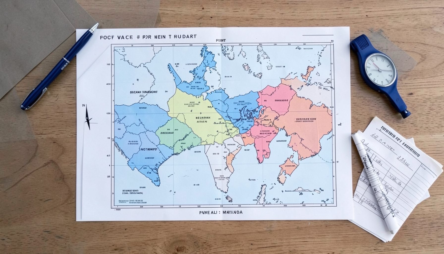
Figure 1 — Peak ground acceleration distribution from GSHAP, illustrating the regional variation in seismic hazard across southeastern Europe.
Workshop Participants & Contacts
This effort is coordinated by researchers at the U.S. Geological Survey. For inquiries about the Balkan seismic hazard initiative, reach out to the project team.
View Contacts